


Upcot Gps app for iPhone and iPad
Developer: Blue Genie Technologies
First release : 15 Jul 2019
App size: 12.13 Mb
A Upcot Lite APP is a Truck monitoring application normally carried by a moving vehicle that uses the Global Positioning System (GPS) to track the devices movements and determine its location. The recorded location data can either be stored within the device or transmitted to an Internet-connected device using the cellular (GPRS),using mobile internet. This allows the location to be displayed against a map backdrop either in real time or when analysing the track later, using Vehicle tracking software.
We offer White label GPS Tracking software with their own brand name and logo. We Publish Mobile application on App Store with your own company name.
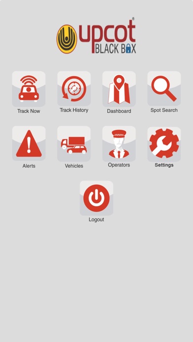
FEATURES:
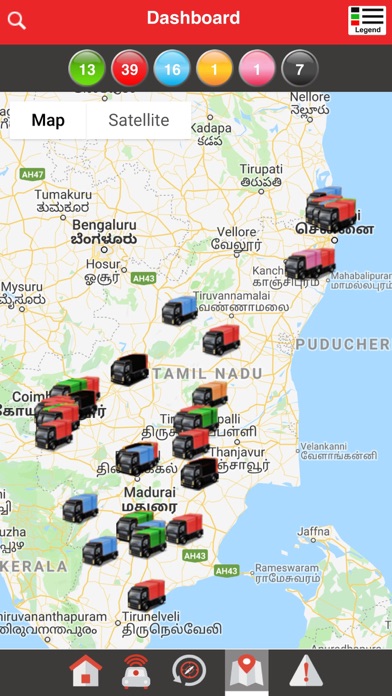
1. Real-Time Tracking - Location of the vehicles are tracked on the map as it moves from point to point. The GPS location of your vehicle is displayed on a map along with vehicle speed if the vehicle is moving. The current state of the vehicle like moving,idle is shown in admin panel.
2. Trip History - Information of the trips current state,travelled route and way points crossed timings.
3. Alerts - Depending on needs there are several alerts that are visible in notification’s format when the internet is interrupted, when the GPS is off.
4. Anytime Anywhere Access - The easy anytime anywhere access with user-friendly app keeps you abreast with your vehicle movement in real time no matter where we are.
5. Geo-Fencing - Geo-fencing takes alert customization to the next level. You can create geographical boundaries called Geofences on the map around a landmark. An alert is sent out every time the vehicle enters or exits the Geofence way points.
6. Historical Reports and Dashboard Summary - There are reports for ongoing trip,stoppages and travelled route with way points will be shown. You can see the metrics for different groups of vehicles and for different time periods.
7. Live Tracking: User can see the person or vehicle live on Google Maps with an accuracy of Google maps that depends on Place, Time and carrier network.
8. Destination and Halt Notification - 1km radius of the destination when the vehicle has reached there will be an alert and 1km later when the vehicle returns back from the destination point it trips get completed.